“Through Wild Kurdistan” – that was the title of a famous adventure book by Karl May. The mountains of County Mayo are not quite as wild, but they certainly have a wild beauty of their own….
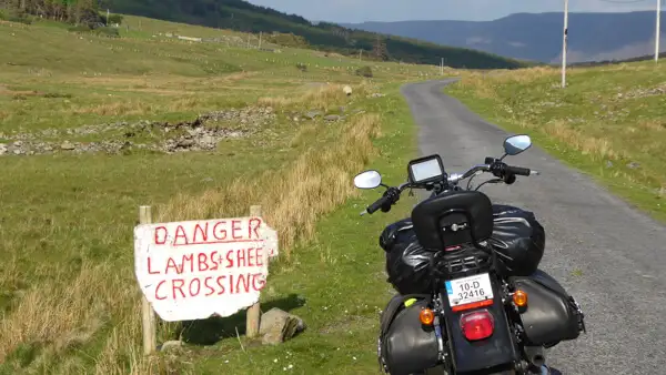
A journey through the mountains
Everyone goes to Connemara. It’s well-known and beautiful. Some people also go to Mayo, which is much less well known, but at least as beautiful!
We start our virtual journey at the border between the Connemara region in County Galway and County Mayo. I did the tour by motorbike, but of course you can just as easily do it by car.
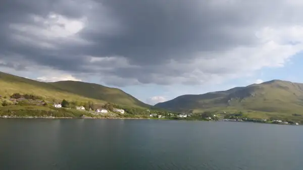
On Killary Fjord, to be precise. But it is also called Killary Harbour because it offers a natural sheltered harbour. Killary Fjord is also the only real fjord in Ireland. For this reason alone, it is worth a visit – but also because of its incredible natural beauty!!!
The south side of the fjord is still Connemara, but on the north shore lies Mayo. The fjord cuts deep into the mountainous landscape – it is around 16 kilometres from Clog and Aasleagh to the mouth. And the fjord is over 40 metres deep. The width varies greatly, sometimes it feels like a wider river and sometimes more like a lake.
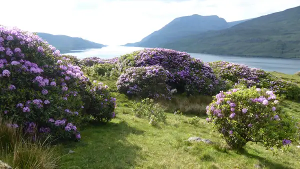
Wild hedges grow on the southern shore, blooming purple in early summer – rhododendrons in all their splendour! Sailing ships and motorboats move slowly through the fjord, on their way to the sea – or deeper into the sheltered bay. Long chains of buoys can be seen – probably mussel farms.
We pass the small village of Leenaun. Small white houses are lined up next to each other. The end of the fjord is reached at Clog – or rather the beginning. A church, a few houses, that’s pretty much it. A few metres further on, the small Aasleagh Falls Bridge crosses the River Erriff, which flows into the fjord here. Shortly afterwards you will see the Aasleagh Falls, a pretty cascade of small waterfalls.
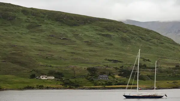
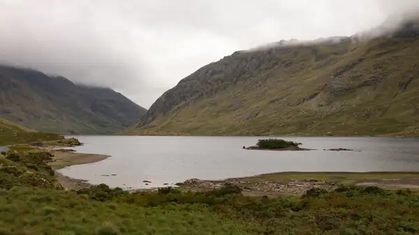
We follow the coastal road along the north shore and then head into the mountains to Delphi. First comes the small Fin Lough, then the large Doo Lough. A tragedy took place here in the middle of the 19th century: It was the time of the great famine in Ireland (Great Famine). Several hundred people from the area were summoned to Delphi to meet two inspectors who were to decide whether the people should continue to receive state support. At least seven of the people never arrived, dying of exhaustion by the roadside. Today, a memorial commemorates this tragic time.
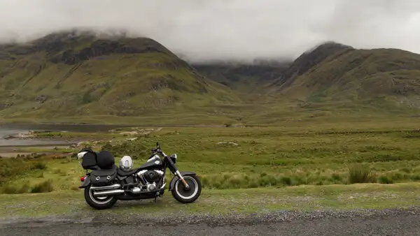
If you stand at the memorial and look back down into the valley, you have marvellous views of the lake. Continue up the mountain to Louisburgh. The small town was built from 1795. The ruins of Kilgeever Abbey, just outside the town, are probably much older. There is also a holy well there and St Patrick is said to have visited this place after descending from Croagh Patrick.
We’ll come back to the saint in a moment, but first we visit the two beautiful beaches of Louisburgh, Carrowmore Beach and Old Head Beach. From the mountains straight to the beach – great, isn’t it?
Follow the coastal road towards Westport. Halfway up, at Murrisk, is the start of the ascent – to Croagh Patrick. This is the holy mountain of the Irish. It rises 764 metres above the sea and is a striking rocky “sugar loaf”. St Patrick is said to have fasted on its summit for 40 days and then built a chapel there.
In fact, the first church on the summit dates back to the 5th century. Today’s church is much more recent. Every year on the last Sunday in July, thousands of pilgrims climb the holy mountain as part of a pilgrimage. This tradition also dates back to the 5th century. See also: https://www.destinationwestport.com/explore-westport/a-bluffers-guide-to-climbing-croagh-patrick.
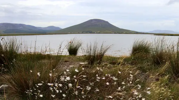
Westport is a nice little town on Clew Bay, which is said to have 365 islands – one for every day. The little town is definitely worth a break, or even better, an overnight stay. See: https://westporttourism.com/.
Refreshed and revitalised, follow the coast road to Burrishoole Abbey. Be sure to take a look at the lovely ruined abbey, as it is situated in a wonderful landscape right by the water. You can find my article on Burrishoole Abbey here: https://ireland-insider.com/burrishoole-abbey-a-pretty-ruin-at-clew-bay/.
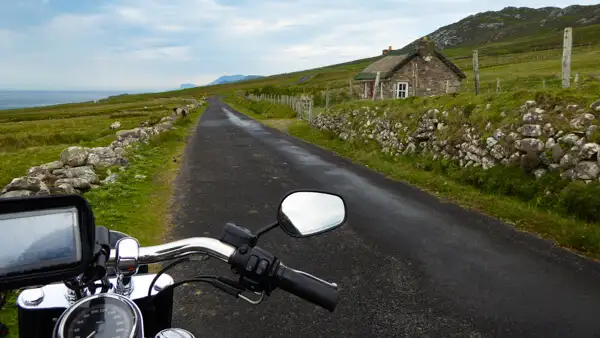
A little further on you can turn left to Achill Island – the island is easily accessible via a bridge and has a wild and romantic landscape! Make sure you take the south coast road and follow it to Keem Bay! You can find my article about Achill Island here: https://ireland-insider.com/achill-island-rough-and-beautiful/.
But this article is about the mountains of Mayo – so let’s head back to the mountains: further north to Ballycroy Visitor Centre in Wild Nephin National Park. The park is hilly with mountains around 700 metres high. In addition to unique flora and fauna, it also offers many beautiful hiking trails. See: https://www.nationalparks.ie/wild-nephin/.
Conclusion
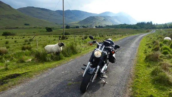
And that gives you a good idea of the mountain world of County Mayo. You’ve explored Ireland’s only fjord and travelled small roads through the mountains: you’ve seen green and brown slopes, mysterious moors and enchanting lakes along the way.
You’ve been to the sacred mountain of the Irish and counted the many dreamy islands of Clew Bay. After the breathtaking coasts of Achill Island and various old monasteries and lively little villages, you finally ended up in a mountainous nature reserve – and so the circle closes: from the mountains, to the mountains.
If this is to your taste, then all you have to do now is add the virtual tour to your holiday plans…
I wish you lots of fun in the mountains of Mayo!
More interesting articles for you
CONNEMARA – IMPRESSIVE LANDS
ACHILL ISLAND – ROUGH AND BEAUTIFUL
BURRISHOOLE ABBEY – A PRETTY RUIN AT CLEW BAY
THE CÉIDE FILEDS – LONG BEFORE THE CELTS
Picture credits cover picture: Mountains of Mayo, photo: Ulrich Knüppel-Gertberg (www.irland-insider.de, www.ireland-insider.com)